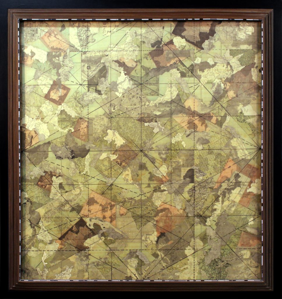
mappings [Homo cum per orbem divisi [2017]
Materials: Archival honeycomb board, wood, paper, UV-protected matte medium, acrylic, various hardware and wiring.
Dimensions: (Approx.) 55”L x 3.25”W x 51.5”H
mappings [Homo cum per orbem divisi:]:
This piece is part of a collage series inspired by vintage images from the Encyclopedia Britannica archives. In mappings, those found fragments are used to explore how people have historically drawn, named, and “sorted” the world’s geography.
At a larger scale, the work leans into an almost prop-like presence—something you might imagine hanging in a drawing room of a stodgy industrialist’s mansion, the air thick with cigar smoke and old authority. That atmosphere is intentional.
Nodding to its politicized Latin subtitle—[“Man’s world divided as follows:”]—the piece borrows the look of a traditional, old-fashioned gentlemen’s club while offering a visual reflection on the many kinds of borders we create: human-made lines, inherited categories, and the natural boundaries that shape our lives.